

Kevin and I never paid much attention to old Route 66. We knew of it, of course, but didn’t know much about it. That is, until we stayed in Needles, CA. Desert View RV, our first stop as Full-Time RVers, is literally on the side along Route 66. When you drive through the city of Needles, you see glimpses of the past on Route 66 most everywhere you look. Most of the buildings, gas stations, restaurants, and motels are empty now and sort of run down. But often, there is one that is open. Even at a hardware store you can see the history on the walls and floors. Wagon Wheel Restaurant is still going and is our go-to place for dinner while in Needles. (We wrote about this place in a past post.) We often say to each other, “Wow, if those buildings could talk!” You would hear all sorts of stories, both big and tall, and history.

We like to take walks in the evenings after dinner. When in Needles, CA, we would head out of the campground and there is Route 66. We turned right and soon we saw along both sides of the 2-lane road, rocks that are piled up about a foot or so high. There is one with the name of Jan, who was the wife of the man who first put up the rocks, as the story goes. Her name is spelled out with rocks and then a curved border around it. Walking farther down we saw words written out with rocks for the US military: USAF (US Air Force), Navy, Army, POW (Prisoners of War), etc. Each rock border is a little different from the others. I read in the Needles paper that the city helps with setting out little flags. The flags only last about 3 weeks due to the desert winds. Each time we walk past, we stop, pause and remember those who have gone before us.
Heading east from Needles, CA, you find Route 66 leaves where Interstate 40 has covered it and veers to the north. At Boundary Cone, a very distinct mountain “cone”, the road turns east and heads up and over the Black Mountains.

Along the way you come upon a town named Oatman. It is an old mining town that has found a way to stay alive. It is all about the burros (donkeys). 🙂 The burros were brought to the area with prospectors. The burros would haul ore and rock in the mines and water and supplies outside. They can smell water 20 miles away! As the mines shut down, the burros were released in the hills around Oatman. Their average lifespan is 30 to 35 years.

When we drove through Red Rock Canyon, outside of Las Vegas, we saw signs all over that were very much a warning…”Don’t feed the burros! $500.00 fine!” Every time we saw those signs we barreled over laughing because at Oatman, they sell you food to feed the burros! 🙂 What a difference.
The town is a fun place to visit. Lots of souvenirs and food can be purchased. I bought some preserves from the local area. Most of the short Main Street has shops open in the old stores.

Every day at noon and 2:15 Oatman has an old-fashion gun fight in the middle of the street. The entire Main Street (route 66) is blocked and people gather around on all sides to watch the fight. The “robbers” wanted to rob a bank, of course. At one point, they waddled over to a storefront that has an actual ATM machine. They shouted at the machine to give them money. It was funny and cute! 🙂 After the gun fight, they pass around a cowboy hat to collect money for children’s charities. A very nice way to end the show.
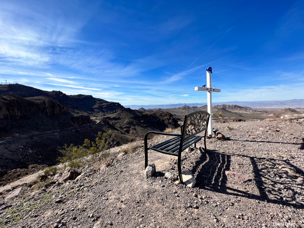
We continued on Route 66 up the road that goes over Black Mountain. The drive is fun with all the crazy turns. At almost the top of the mountain pass, we saw a large gravel parking spot. We pulled over and got out to look at the views. We stumbled upon quite a treasured area. Here there are markers of memories of people who have passed. There is even a bench to sit and take in the amazing views. Some markers have names, dates, and/or stories about the person. We looked it up and found The Graveyard at Sitgreaves Pass

You can read more about the place called Sitegreaves Pass. From this point you can see three states, California, Nevada, and Arizona. Some people even get married here.
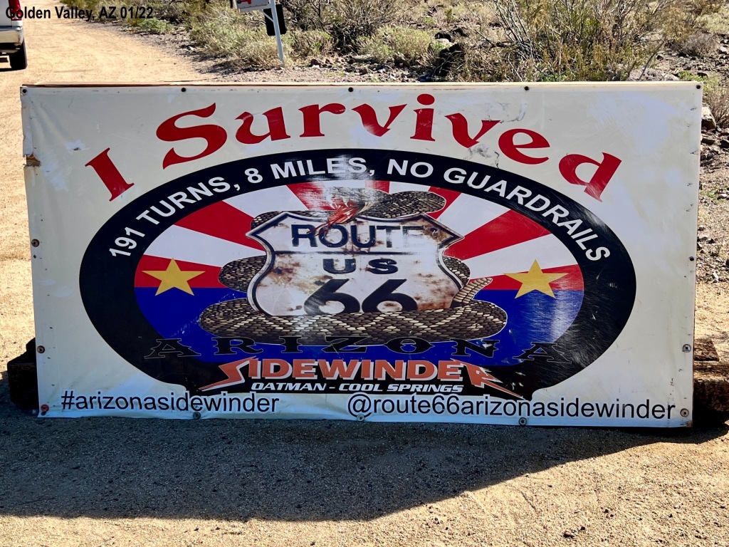
If you look at a map, you will see that Interstate 40 goes south and around the end of the mountain. Kevin and I just shake our heads and wish someone would tell us why Route 66 went up and over this steep mountain with all the twists and turns. Kevin wonders about the old cars in the heat with poor brakes. We know it follows the old mining path but still. 🙂 If you know, please write it in the comments!

To keep everyone alert and cautious with the long stretch of road they are driving.
LikeLike
Good thought. A driver definitely has to be alert to drive this road!
LikeLike
Sounds like an interesting area – with lots of memories. I would remember and honor those who have gone before; however, it doesn’t look like an area where I would want to be married. Route 66 went through St. Louis. I know several who are fascinated by it. I only know a bit about it. Enjoy your travels,and have safe travels!
LikeLike
Thank you. I agree, I wouldn’t want to be married there. 🙂
LikeLiked by 1 person